Wednesday, August 17, 2016

YELLOWSTONE!


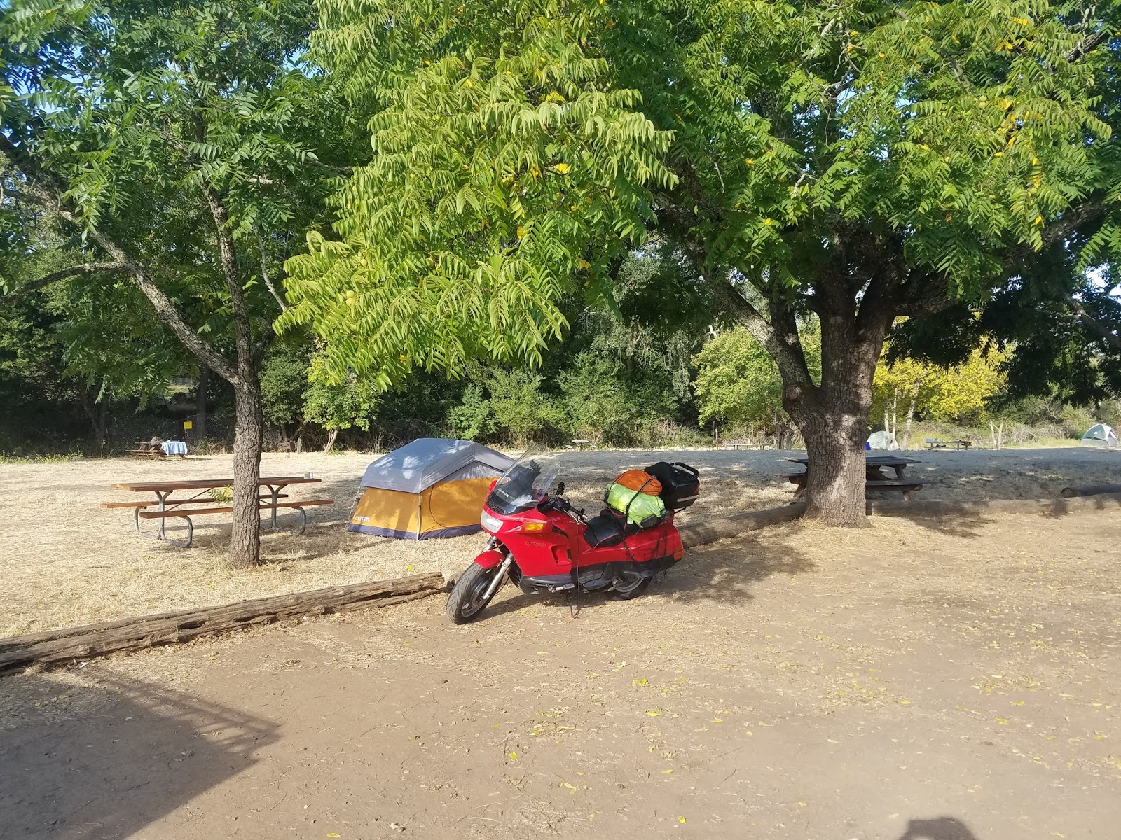
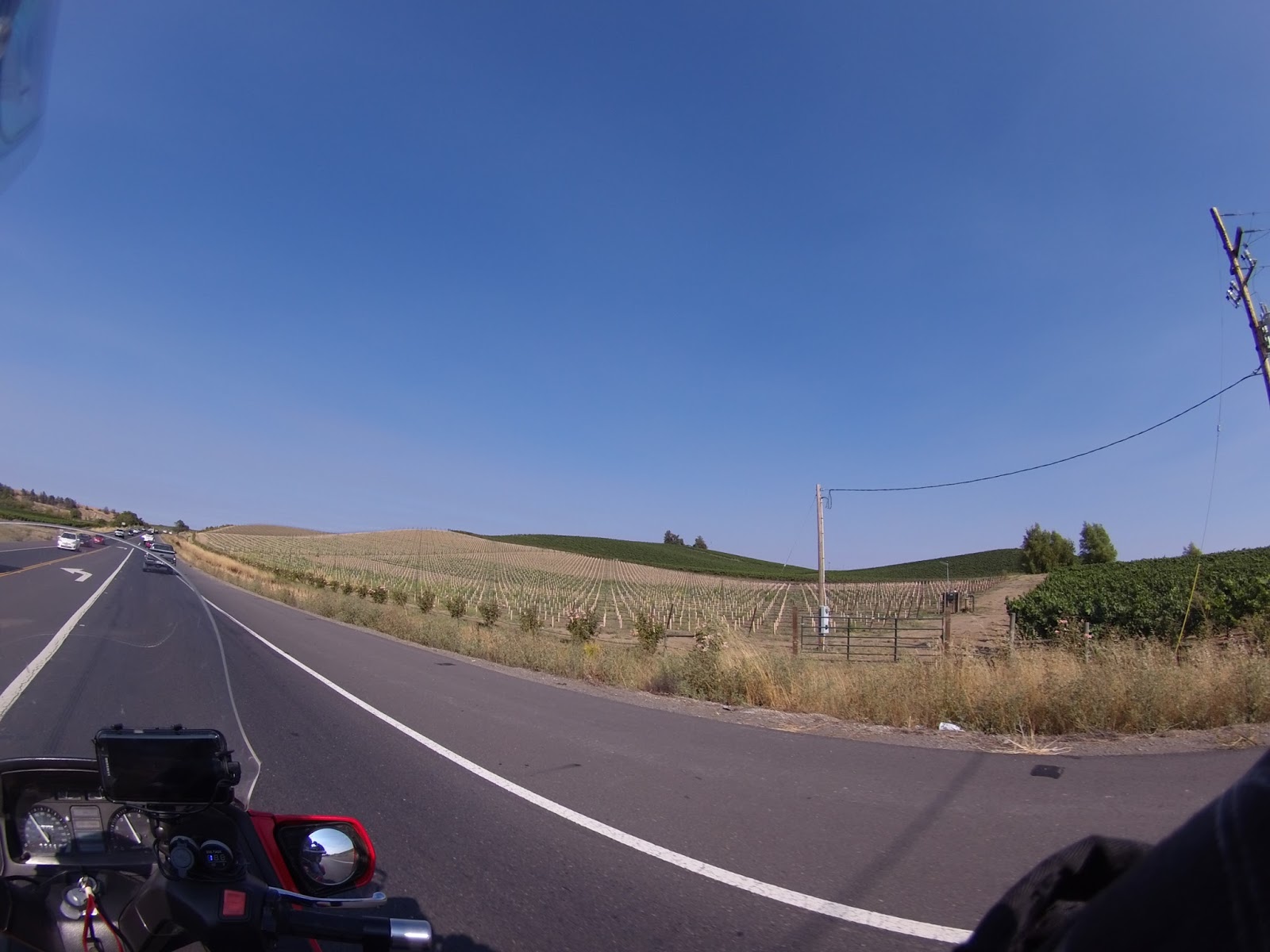
 After breaking camp this morning, I headed  straight for Yellowstone National Park.


Old Faithful
           
 Yellowstone was set aside as the world’s first
 national park because of its hydrothermal  wonders. The park contains more than 10,000  thermal features, including the world’s greatest  concentration of geysers as well as hot springs,  mudpots, and steam vents. Old Faithful Geyser  was once called “Eternity’s Timepiece” because  of the regularity of its eruptions. Despite the  myth, this geyser has never erupted at exact  hourly intervals, nor is it the largest or most  regular geyser in Yellowstone National Park. 

 The park’s hydrothermal system is the visible  expression of the immense Yellowstone volcano;   they would not exist without the underlying  partially molten magma body that releases  tremendous heat. They also depend on sources  of water, such as the mountains surrounding the  Yellowstone Plateau. There, snow and rain  slowly percolate through layers of permeable  rock riddled with cracks. Some of this cold water  meets hot brine directly heated by the shallow  magma body. The water’s temperature rises well  above the boiling point but the water remains in  a liquid state due to the great pressure and  weight of the overlying water. The result is  superheated water with temperatures exceeding  400°F.

 I could go on and on describing the parks many  wonders, but I think the pictures I took can best  portray this marvel.


There are boardwalks located throughout the park to keep you safe,
 and protect the parks thermal features.


Hot springs are the most common hydrothermal feature in the park


    Terraces form when water rises through limestone, which then
allows the water to carry high amounts of dissolved calcium
carbonate. At the surface, carbon dioxide is released and the
    calcium carbonate is deposited, forming travertine, the chalky
white rock of the terraces
.


Note the micro organism fields surrounding the hot springs


Mud pots vary in consistency from very soapy to almost hard-baked mud.
There is usually a lingering smell of rotten eggs from the hydrogen-
sulphide. Mud pots make interesting sounds as various gases
bubble through the thick clay mud.       


Hot springs continue to develop throughout the park


There are many rivers and creeks running throughout the park. The
water can be deceptively cold and  swift. Many people have lost their
lives in these rivers.


In addition to the beautiful landscape, the park is also the home of a broad range of wild life.While black bears are common, it is estimated that in 2015 there were over 700 grizzly bears living in the Yellowstone Ecosystem. There are also grey wolves, wolverine, lynx, elk, mule,
deer, bison, moose, bighorn sheep and white-tailed deer all native to the park. In all there are over 65 different mammals living in the park. Bison are known to have injured more people in the park than any other animal. This in part because of the huge population numbering in excess of 5,500. It should also be pointed out that they can run up to 30 mph and are naturally unpredictable and dangerous. Bittersweet as it may be, I did not encounter any of the above within the park. **Note: I did not know how dangerous the bison were when I took selfies with the bison in Texas.**

As the day came to an end, I traveled on to Cody, Wyoming where I found a room at the Wigwam Inn. I had hoped to find a campground  tonight but by this time I was competing with bikers from all areas who were heading to Sturgis, S.D. for bike week. Oh yes, I will be going to Sturgis! See you there....


Tuesday, August 16, 2016

Great Day For A Ride!


Tuesday morning I continued my trek toward Yellowstone National Park. It was a great day for riding but at the same time an uneventful day. After traveling 350 plus miles I decided to call it a day and set up camp at the Ennis, Wyoming RV Park. After setting up camp I was able to do some wash prepare another freeze dried meal and most importantly take another shower! Once cleaned up I decided to introduce myself to the neighboring campers. I was eager to get a better look at the Casita Camper parked on the adjoining lot.


The owners, Jim and Nancy were more than happy to answer all my questions. Jim explained that he was a fly fisherman and often towed the Casita on rough roads with no problems. Nancy on the other had had just retired and wanted to tour the USA. Her enthusiasm and positive review of the Casita was enlightening as my wife has also expressed an intrest in a USA tour, but not on a bike!!     Tomorrow, YELLOWSTONE!

Monday, August 15, 2016

Back on Line!


Before heading out Saturday morning I decided to work on the blog; however, my laptop had decided to take a rest, ca-put, no image on screen at all. That being the case, I decided to try updating the blog with my phone. I soon found out that would not work as it was just way too slow.  Best I could do at this point was to keep notes throughout the coming days so that I could finish the blog when I arrived back home in Maine.  I made it back in one piece and though a little slow getting back to the blog I am working on it and do plan to complete it. So starting with my notes from Saturday this is how the day went. I broke camp a little after noon and headed for Blaine, WA which will be my fourth corner! I did not go all the way to Blaine because I could not find a campsite or motel available in the area. I ended up in a campground of sorts in  Sedro Wolley,WA. The campground itself was nothing to really brag about but I did enjoy the night.  A young couple camped 
next to me and we had a real enjoyable evening. We shared vino and almonds and a lot of camping experiences. Sunday morning we all left about the same time. They were headed back to Seattle for a softball game and I headed to Blaine.
You may recall my border experience when I went to Madawaska, ME.  Well I had a near repeat of that same experience in Blaine, WA. 
It turns out that the Peace Arch, which is the fourth corner of my journey, is located between the US and Canadian borders. I realized that just as I was driving past the US border patrol. I whipped into a business parking lot and there I sat. I was trapped between the US and Canadian borders again! Lucky for me a business man decided to come to his office about that time. He was able to tell me a back way out of no man's land. Once back on the highway I was still trying to figure out how to get to the Peace Arch. Well my friend Jill, the Garmin  spokes lady, finally figured it out. She directed me through multiple residential areas and then to what appeared as a small beautifully maintained county park with many flower gardens and of course a wedding / reception in progress. As I looked on I realized that the Peace Arch was directly on the far side of this park. I parked my bike and strolled through the reception as if I were a long lost friend arriving at the last moment. With no questions asked I continued to the far side of the park where I crossed the highway to the medium strip which is where the Peace Arch was actually located. The medium is  also beautifully landscaped with flowers, trees and of course the Arch. This area between the two borders appears to be shared by the US and Canada so it depends on where you are standing as to what country you are in. 


Note the American flag on near side and Canadian flag on far side of Peace Arch along with cars on right entering Canada and cars on left exiting Canada 


Could I have walked right into Canada? It appeared so but I was not going to chance it. Having reached my destination, I snapped a couple photos and continued my journey. I headed east toward Glacier National Park. I left the navigation up to Jill and guess what, an hour later I was again looking right at the Canadian border. That was the breaking point. I was cold and I was lost so I shut down the Garmin and headed south. After an hour or so of driving I finally decided to call it a day and checked into the Windmill motel about halfway between Blaine and Seattle. After a good nights rest, I decided to skip Glacier National Park and continued southward to Yellowstone National Park. I was tired of being cold and decided the ride to Yellowstone would be a much more comfortable ride. I did not make it all the way to Yellowstone in one day as it was about a 600 mile ride, but I did make it to Coeur d'Alene,
Idaho which is where I set up camp for the night.


Saturday, July 30, 2016

I may have lost a day somewhere???


Okay, the days are starting to meld together now. My last post indicated that I had just crossed the Golden Gate Bridge  and camped in Napa, California so that would make today Thursday. After heading inland I found the temperature to be far more stable and comfortable. My goal for today was to reach Oregon, which I did. I camped at the Valley of the Rogue State
Campground.  There, I met a couple from Switzerland that had recently married and decided they would like to tour the world instead of having kids right away or buying a house. They had purchased an old VW bus, converted it into and Vanagon, similar to the Westfalia Van, and had it shipped to Canada. After touring Canada they entered the US and have traveled here for nearly six months. Their next destination is South America. What a daring couple. They were delightful!
Today I headed north on I5 until I reached Toutle River RV Resort  just north of Castle Rock, Washington. It is very nice with laundry facilities, swimming pool, hot tub, etc. etc I have to say however, driving through Portland, Oregon on a Friday afternoon was quite the challenge. It actually made driving thru San Francisco seem like a piece of cake. Bumper to bumper for miles. Lucky I am on a motorcycle, I can maneuver my way through.
Klamath Mountain Range, Oregon (Yes that is snow!)

Pacific Coast Highway / Golden Gate Bridge


Monday morning I headed for the Pacific Coast Highway. My bike is obviously named after the highway and I have  heard great things about the drive and the scenery. My take on that differs somewhat from what others have posted. First I would say if you are planning to travel the PCH, do it from North to South. I went the opposite direction  and feel there was a lot I did not see due to the traffic between me and the coastline. I would also recommend that you give yourself an extra day or two or three in case the fog decides to roll in and obscure your view. Last but not least, dress warm! It can be down right cold with the wind blowing off the ocean, especially if there is fog. I thought the view and weather was nice from Malibu south but north of Malibu, I was cold most of the time. That really surprised me as I always thought of the California coast as being hot.


Laguna Beach, south of Malibu

Malibu was the only place along the beach where I saw houses on the coast side of the highway


Just north of Malibu, notice the fog ahead


Futher north and fog is increasing


Sun is going down and I am still searching for a campground
There are thousands of acres of forest on fire in Big Sur at this time
so camping spaces 
are hard to find.
After searching for
hours for a 
campground that was not full I finally lucked out at one of the state run beach campgrounds. This particular campground was also full but a very nice couple offered to share their campsite with me. It was a beautiful night and I was still in southern California where it was actually warm, so I just set up my Ther-ma-rest cot, laid out my sleeping bag, and fell asleep under the stars listening to the sounds of the ocean. Tuesday morning I tried to plan a little better as far as where I could camp for the night. I must have called ten different campgrounds looking for a place to put my tent and all were full. There was one in Montery, CA that was in a county park. I tried calling several times but could never reach anyone so I decided to chance it. I lucked out! I arrived about 4:30 pm and claimed one of the last open campsites. Not only did I find a campsite, this one actually had hot showers! This morning after having coffee with the campers next to me I set out for the Golden Gate Bridge. Again it was cold along the coast and I decided that once I crossed the bridge, I was going to head inland for warmer weather. Getting to the bridge was quite an experience. I had to drive through San Francisco which is where I ran into the most traffic I have seen since leaving Maine. One thing that cyclist do in California is to drive on the dividing line between cars that are either stopped or going very slowly due to heavy traffic. I really did not think that I would ever do that myself but came to realize that in California, you either participate in lane splitting, so they call it, or your bike overheats and melts right between your legs. So yes, I did my share of lane splitting, but it is not something that I would want to do on a daily basis. I finally made it to the Golden Gate Bridge and was surprised at the number of people that walk across the bridge. The fog was very heavy so pictures were really limited.


Crossing the Golden Gate Bridge - Heavy Fog


 Once over the bridge I stuck to my plan and headed inland to warmer weather. Tonight I am camping at Skyline Wilderness Park in Napa,CA, the land of grapes, grapes and more grapes.


The little white stacks are freshly planted grapes while all the green are mature


Sunday, July 24, 2016

The Grand Canyon


After visiting Bryce Canyon, I traveled on down to the Grand Canyon hoping to overnight in the park. As it turns out the park campgrounds are generally booked year round; however, I was able to camp just 5 miles outside of the park at De Motte National Campground. Saturday morning I went back into the park to get a view from the north rim. I had visited the south rim of the park years ago while on a business trip with the Associated Press. I was surprised at the difference in views from the north rim and the south rim. As I recall, the south rim view was mostly that of a very barren canyon while the north rim view includes a lot of vegetation. Both views are incredible. The photos here are taken from the north rim.

Note the girl on the edge..scary


Leaving the Grand Canyon National Park I headed out for San Ysidro, California. San Ysidro will be the third corner in my four corners tour. Realizing I would not make it all the way to San Ysidro in one day I stopped at the Hualapai Mountain Park, a county park run by Mohave County, Arizona. It was really a nice place to camp. The camp offered cabins, tepees, RV sites and tent sites. The tent sites were scattered up the mountain road so I drove about three quarters of the way up the mountain and found a very suitable site. I even had my on private porta potty. It was a very peaceful night  with a full moon and no insects.
Hualapai Mountain Park - Beautiful view from my tent!
 
This morning I set out again for San Ysidro. I did not plan to travel all the way to San Ysidro in one day but I did.  I stopped at two campgrounds on the way and both were gated with a check in time up to 4:30pm. I found that very odd.  I normally do not travel on the bike at night, much less through the mountains, but sometimes you have to do what you have to do, so that's what I did and eventually arrived in San Ysidro where I decided to crash at the local Motel 6. 


San Ysidro / 3rd corner

Friday, July 22, 2016

Take a deep breath!!


Waking up yesterday morning I felt a little shaken from the loose gravel or chipping incident. In addition to minor bike damage, I also sustained a mild shoulder injury. I call it mild now; however, it did not feel so mild at the time. The shoulder was better but still sore so I chose to spend another day in the Capitol Reef National Park Campgrounds. I'm glad I did. I went into town and took a nice refreshing shower at the local general store public shower and did some laundry.  At the end of the day I returned to the campground and took my favorite picture so far as the sun lit up the canyon wall. It was without a doubt a beautiful site.


As the sun set, the mountain glowed!

Today my shoulder feels better and I am back on the road. After packing the bike I headed out for Bryce Canyon, Utah. Traveling the historic Highway 12 in Utah is quite an adventure in itself. There is one section approximately 5 miles long that is called the Hogs Back. It literally has no shoulders on either side. Nor does it have guardrails.The Hogsback is a portion of Highway 12 that travels over the narrow spine of a mesa with canyons on either side created by Boulder Creek and the other side is Calf Creek.


This is a stock photo of the Hogsback
Photos and video will never do the Hogsback justice, you have to stand there on it and take in its breath taking views to truly appreciate its majesty. 


Continuing beyond the Hogsback I eventually reached Bryce Canyon. The Hoodoos in Bryce Canyon are unlike anything I have seen in any 
of the other canyons. Hoodoos are tall skinny spires of rock that protrude from the bottom of arid basins and "broken" lands.
The difference between Hoodoos and pinnacles or spires is that hoodoos have a variable thickness often described as having a "totem pole-shaped body." A spire, on the other hand, has a smoother profile or uniform thickness that tapers from the ground upward. At Bryce Canyon, hoodoos range in size from that of an average human to heights exceeding a 10-story building.